


COPYRIGHT © 2016-2026. The Owl Teacher | Privacy page | Disclosure Page | Shipping | Returns/Refunds
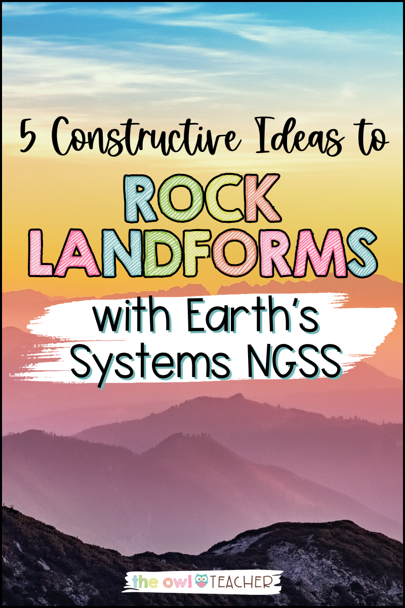
As both a child and an adult, I made the journey between Michigan and Georgia many times, and always by car (or big clunky van, in our case). It seems like that kind of trip–thirteen hours!–would get boring after a while, and it certainly can, but there’s one thing that always perked me up: heading through the Appalachian Mountains in Kentucky. To me, Earth’s systems and landforms are always exciting, and with the right activities, the same can be true for your upper elementary students!
When was the last time you marveled at the changing landscapes during a long drive? Driving through the Appalachian Mountains or seeing the Great Plains shift into the Sandhills are both mesmerizing sights, but it’s not likely that you can drive your students out to witness the beauty of Earth’s systems in person. How, then, do you help your kiddos learn how the Earth works, from the lovely landforms to the serene sky?
Thankfully, there are plenty of ways to show your students the importance of Earth’s systems on landforms, and many of those can even be done from the comfort of your own science classroom! It’s like touring the planet without leaving your seat. The secret is following the Next Generation Science Standards (NGSS)… But with more flair! 😉
Let’s take a look at a handful of methods that we can use to make learning about Earth’s systems and landforms smoother than a plain but a million times more exciting. First, though… Let’s explore the necessary vocabulary needed to make these activities really stand out in your science classroom.
Earth’s Systems: Terms and Vocabulary
Vocabulary games are always a hit, and for good reason. A strong vocabulary forms the basis for every elementary science topic, and a solid foundation is key! In fact, engaging your students with vocabulary is so important that I’ve even written about a few vocabulary activities in the past.
Ultimately, however, we’re here for Earth’s systems, so let’s dive right in! I recommend exploring the following terms to round out your students’ knowledge:
- estuary
- relief map
- landform
- topographical map
- mountain
- canyon
- river
- plateau
- tributary
- coast
- cliff
- delta
- inlet
- plain
- hill
- desert
- valley
- lake
- elevation
- contour line
For these terms covering Earth’s systems, a great place to start is with the tried-and-true flashcards, such as the sort you can create on Quizlet or even Canva for a fancier experience. You can even encourage your kiddos to partner up and create the flashcards together—just make sure they don’t get hung up on Canva’s wealth of options for creativity!
If you’re looking for something a little more out-of-the-box, head toward vocabulary games! They’re perfect for independent work, science centers, and whole group instruction. For instance, you can have your students match terms with definitions or images, or play fun games such as “Bump” or “Shoot and Pour,” both of which are featured in my Earth’s Systems Vocabulary Games resource. These games are completely finished and are ready-to-print for you and your students!
Landforms and Bodies of Water
The last thing you want to teach students is that learning only happens in a classroom. In fact, they’ll do most of their learning outside it! That’s why it’s so important to think outside the classroom whenever you can.
In this instance, let’s head outside to take a look at how Earth’s systems work together! Organize a field trip to a nearby lake, dunes, or hilly area to allow your kiddos to see and identify different landforms as well as bodies of water. Field trips are hands-on learning at its peak, connecting classroom knowledge with its real-world applications. That’s the whole goal of science, after all!
Of course, as much as we love to fantasize about grandiose all-inclusive field trips all across the globe, the reality is that many educators lack the necessary resources to be able to make these journeys, whether constrained by finances, time, or otherwise. Thankfully, there’s a solution: go virtual to explore the Earth’s systems!
Virtual field trips have seen an uptick in popularity over the last few years, and for good reason. Today, they’re readily available through a variety of resources, such as the Smithsonian Learning Lab or the aptly-named Virtual Field Trips. If you’re looking for something with more freedom, consider taking your students on an adventure around Google Earth and see how many different landforms you can spot! These real-life connections are a top-notch way to keep your kiddos engaged while following the NGSS.

Formation of Landforms
Now, you can do things the old-fashioned way and stand up at the front of the classroom and preach about Earth’s systems with vaguely mountain-shaped science drawings, but to get your elementary students to truly engage, you’ll need to spice it up a bit. In that case, let your students do the creative part!
Hand out modeling clay or Play-Dough to your students and encourage them to model different landforms. For added spice, you can divide your students into groups and assign each group a set of different landforms. See who can make their landforms the fastest, and then share out to the classroom with the results. Encourage student-led inquiry! Pose open-ended questions, like “If we created this landform faster than that landform with our clay, then do you think that happens in real life, too?”
Regardless of how you choose to flair your science activities, there’s no denying that these model landforms are a fun and tactile way to explore the geological processes that shape our world. Earth’s systems are plentiful and remarkably fun, too!
Landforms on Maps
Once students get a feel (get it?) for their clay landforms, it’s time to move on so they can really map out Earth’s systems… By bringing out the maps for your classroom! Introduce your students to both topographical and relief maps, with the latter of the two providing a more tactile experience for your kiddos.
First, have your students identify and label different landforms on the maps. Then, discuss elevation and contour lines. Not only is this activity an excellent way for students to explore real-life examples of Earth’s systems, but it’s also a perfect tie-in to the NGSS standard 5-ESS2-1, helping students understand the interaction between different landforms.
Don’t forget to ask students what they notice on the maps. What patterns are there? What can they assume about the way Earth’s systems interact based on the data found on the maps? Are landforms scattered about randomly or not? How can we use this information to predict what Earth’s terrain may look like in the future? Earth’s systems provides a wealth of questions to be asked and explored, giving your students ample opportunity to engage their critical-thinking skills.
Landform Liquids and Bodies of Water
Landforms aren’t all about land; Earth’s systems are known to get wet and wild from time to time! Another way to explore this science topic is by diving into the world of water. As usual, you should examine the concept of solids and liquids in relation to landforms and bodies of water in order to make that multi-topic connection between the different branches of science.
Next, have your students describe and graph the amounts of salt water and fresh water in various reservoirs, aligning with the NGSS standard 5-ESS2-2. If you don’t have a plethora of bodies of water nearby like us here in the Great Lakes state, then you should move! Oh, sorry, I mean… Use internet resources like Google Earth to check out everything from seas to lakes to waterfalls. Take special care to examine how bodies of water interact with landforms and vice versa.
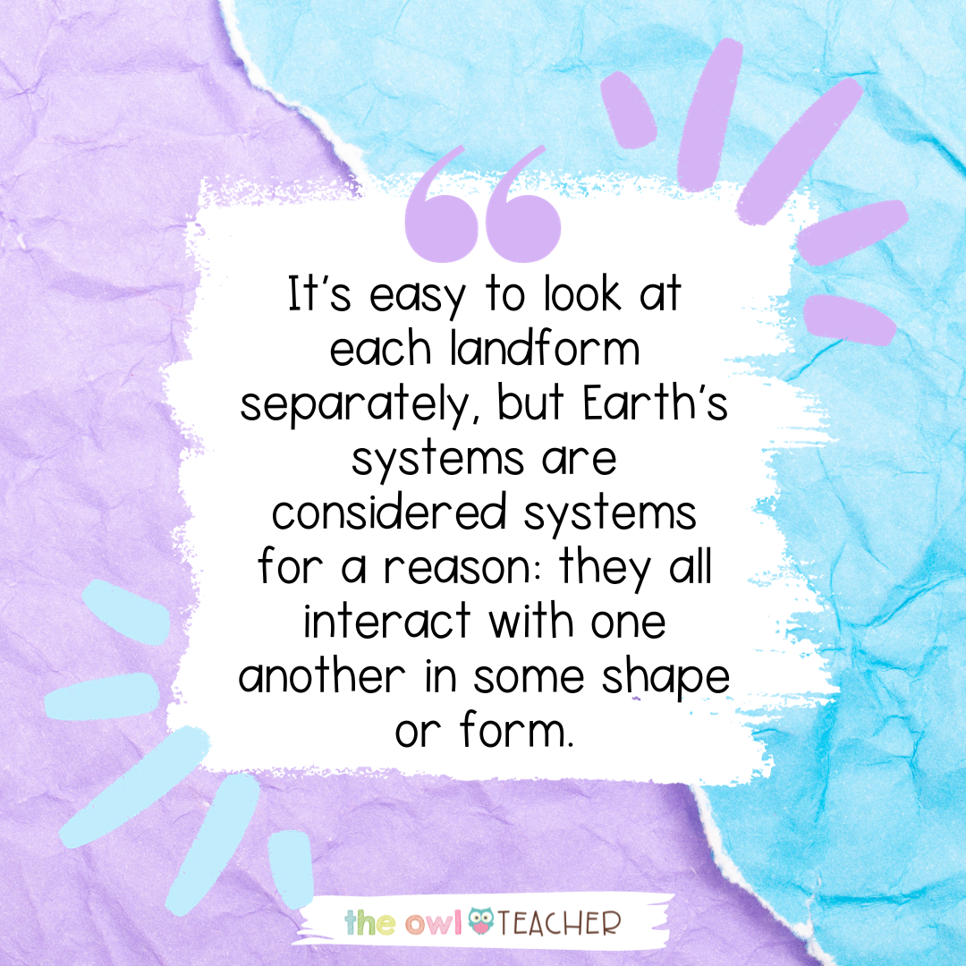
Encourage your students to hypothesize how all the different bodies of water are made. Explore how seemingly unrelated landforms, such as mountains, may impact bodies of water. It’s easy to look at each landform separately, but Earth’s systems are considered systems for a reason: they all interact with one another in some shape or form.
While field trips are absolutely engaging, you don’t always have to leave your classroom in order to make learning about Earth’s systems a memorable adventure for your students. With activities like vocabulary games, virtual field trips, modeling landform formation, and exploring water distribution, you’re not just meeting the Next Generation Science Standards. In truth, you’re igniting curiosity, fostering a love for learning, and nurturing a deep appreciation for our Earth’s diverse landscapes and features.
So engage those critical thinking skills and get ready to immerse yourself in student-led inquiry! It’s time to embark on an exciting Earth’s systems journey with your upper elementary students and make a difference in their learning experience. And, like Earth’s systems, the world of education is all interconnected… So do your teacher friends a favor and share this post! 😉
